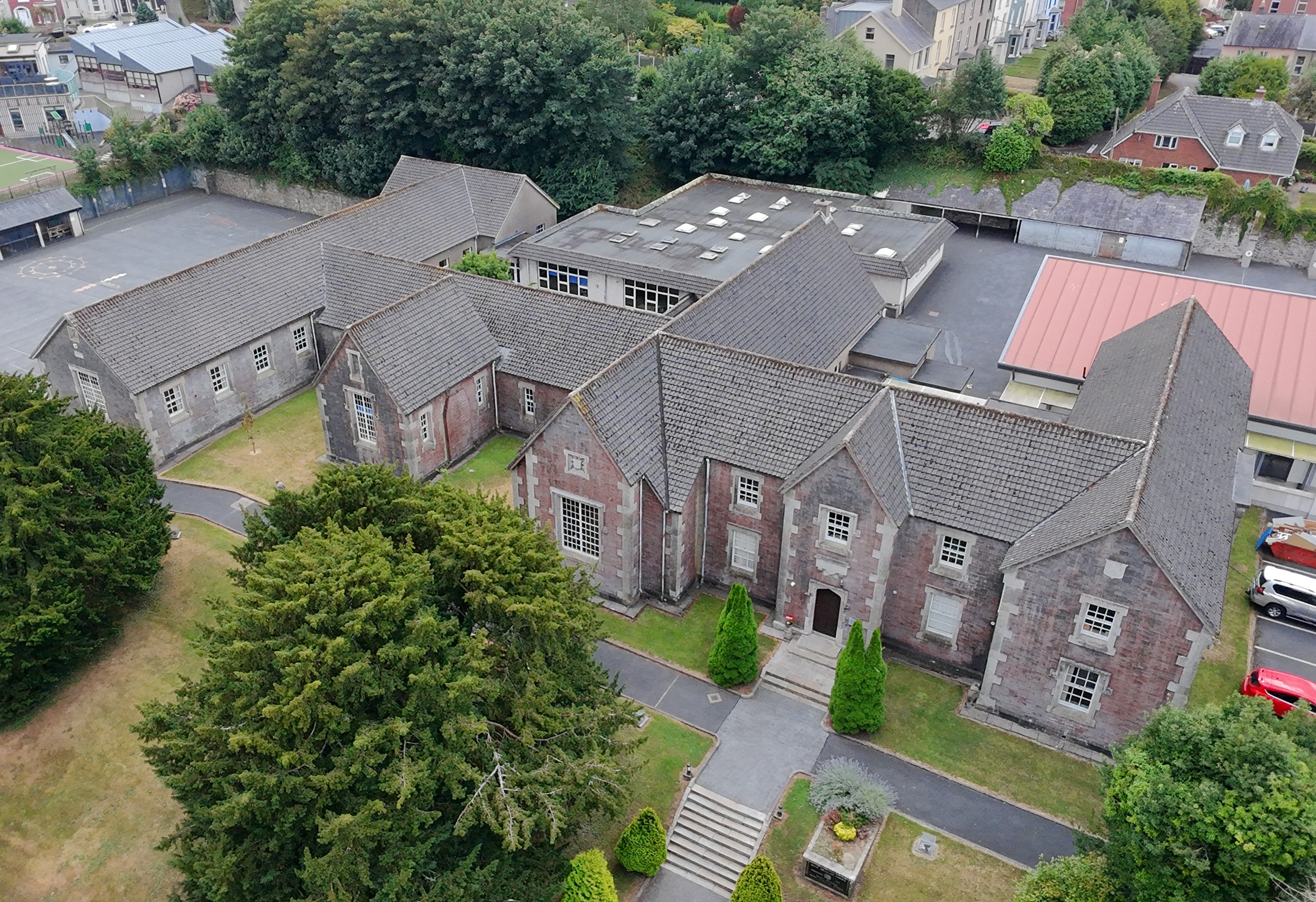
Property & estates
Marketing-ready overview shots and site context for listings and portfolios.
Aerial by Thomas Alex
Aerial stills, video, and 3D capture for property, construction, surveying, planning, investigations, and inspections. EU and US licensed.
Available across Ireland
Clear aerial stills and video for real-world decisions, not just pretty flyovers.
Marketing-ready overview shots and site context for listings and portfolios.
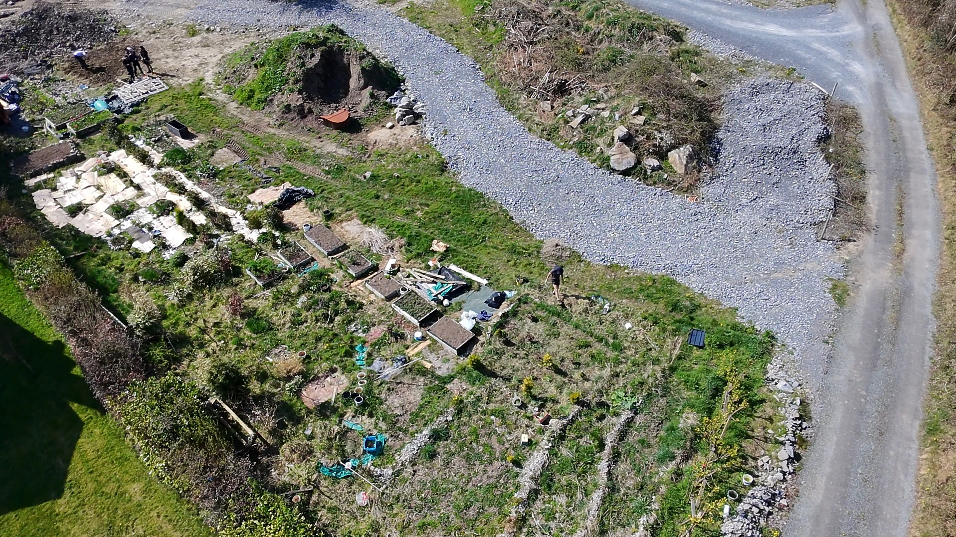
Repeatable progress documentation for stakeholders and project records.
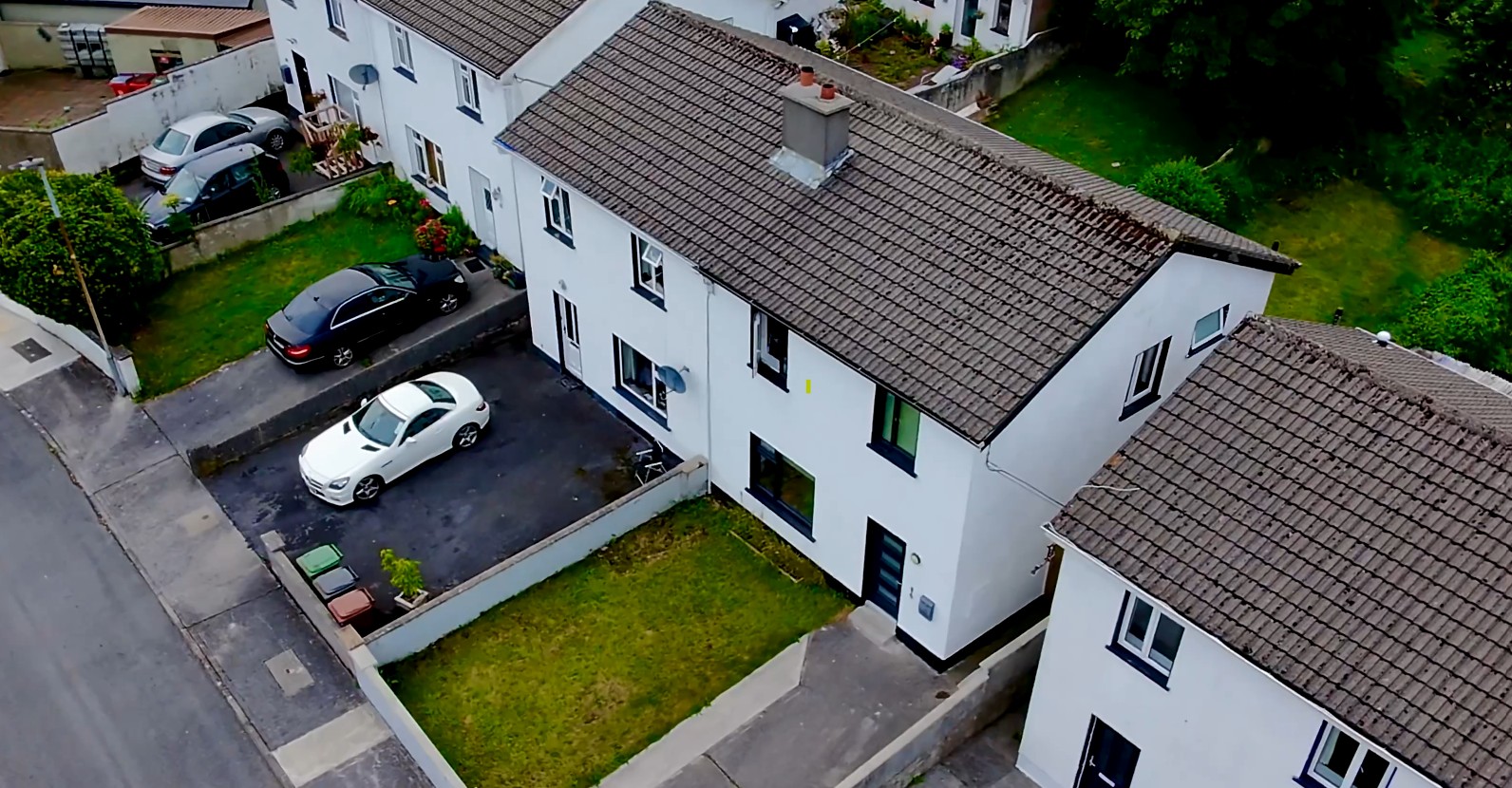
Hard-to-reach views that help spot issues without scaffolding on day one.
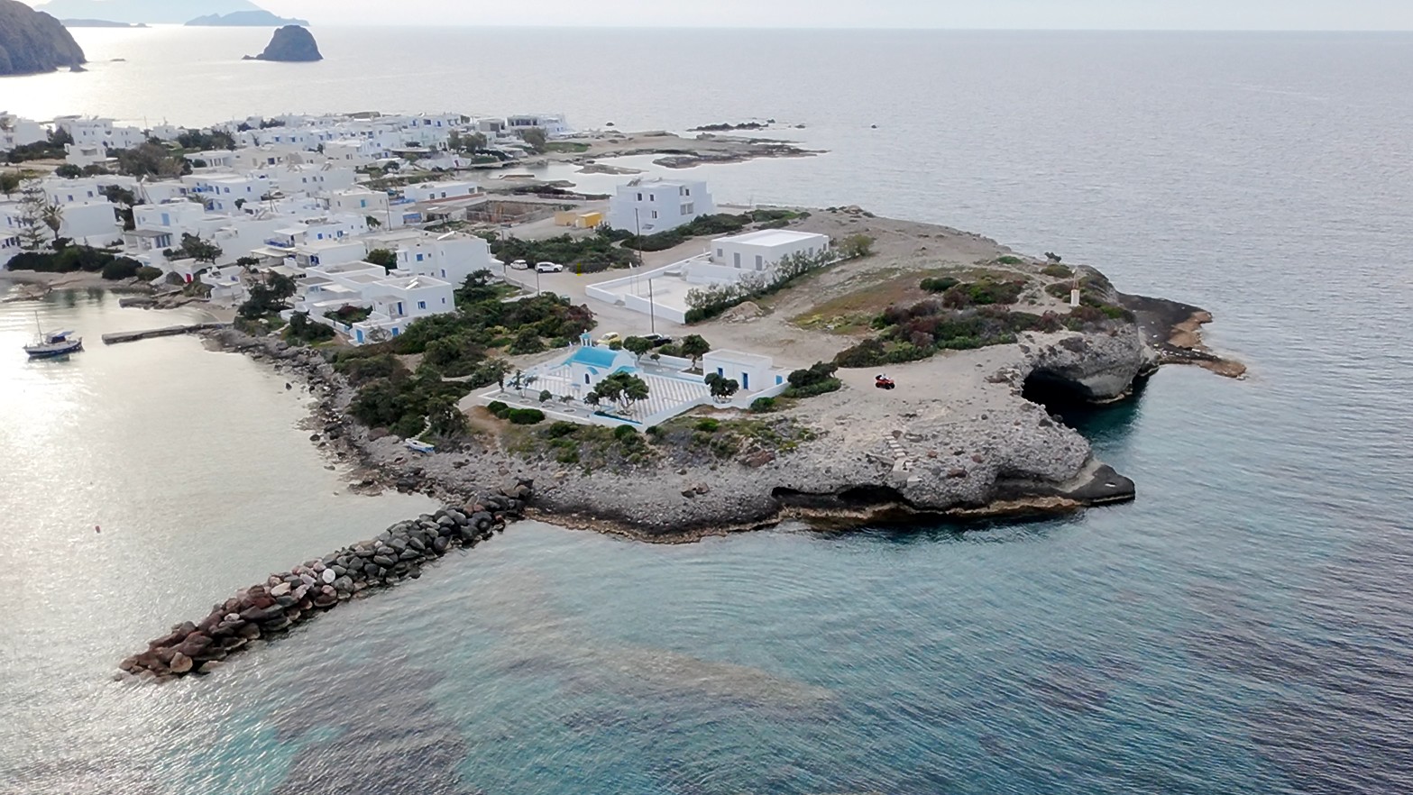
Cinematic aerials for venues, campuses, and scenic locations.
If you need a clear aerial record of a site anywhere in Ireland, I can usually fly it. Typical jobs include:
Overview stills and 3D context for surveyors, engineers, and landowners who need the full site in one pass.
Location context, neighbouring land, access, and site photographs to support planning applications and reports.
Independent aerial documentation of a site, boundary, or incident area when a ground-only view is not enough.
Clear, dated aerial stills for solicitors and clients who need a visual record to support a case or statement.
Roof, storm, and property condition packs that show damage or state of repair without waiting on scaffolding.
Progress photography and stakeholder updates for builders, architects, and project managers.
Beyond photos: a digital twin of the site from the air.
From a structured drone flight I can rebuild a site as a photorealistic 3D model. You get a digital record you can revisit from any angle, useful when stills and video alone do not tell the full story. Deliverables are tailored per job: stills from the model, exported 3D assets, or a shareable viewing package for clients and stakeholders.
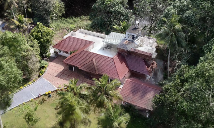
Example of a site reconstructed from aerial footage.
Revisit the site after the flight. No need to schedule another visit for a missed viewpoint.
Photorealistic detail that helps clients understand layout, condition, and context.
Hand off stills, exports, or a viewing package that stakeholders can open without specialist software.
Often captured alongside your photography or inspection pass, so one site visit covers more.
Pick what you need. Custom quotes for every shoot.
Edited high-resolution aerial stills ready for web or print.
Stabilised flight footage and short edited sequences.
Photorealistic 3D reconstruction of the site: stills, exports, or a shareable viewing package on request.
Annotated stills highlighting areas of interest on request.
Yes. I take jobs nationwide, not only in Galway. Share the site location and timing and I will confirm availability and travel.
Yes. I hold both EU (EASA) and US (FAA) drone licences, and operate within the relevant rules for each job.
Yes. Day-cover insurance can be added for the shoot at a small extra cost. Request it separately when you enquire and I will include it in the quote.
Yes. I regularly produce clear, dated aerial stills for planning packs, investigations, and supporting documentation. Tell me the brief and any viewpoints you need.
Use the form on this page with the site location, timing, and what you need delivered. You can also email, call, or WhatsApp. I usually reply within 24 hours with availability and a quote.
Edited high-resolution stills, stabilised video, annotated inspection packs, and optional photorealistic 3D models from the same flight. Quotes are custom to the site and deliverables.
Tell me the site, timing, and what you need delivered. I usually reply within 24 hours.
Available across Ireland. Send the site location, job type, and what you need delivered — I usually reply within 24 hours with availability and a quote.
Looking for hardware or firmware work? Contact via the main portfolio.